top of page

Bailey Trail South
Description
This southern segment is shorter and more straightforward, making it a pleasant, quick walk through the woods. The trail is easy to follow, with a softer, flatter path than its northern counterpart. Forest views dominate the route, with a few quiet moments where you can hear nearby birds or distant wind through the trees. It's a good choice if you're looking for a peaceful nature break. The trail links into other nearby paths, allowing for a longer loop if desired. It feels secluded and natural, perfect for a short, refreshing hike.
Trail Map
Map Credit: Madison Land Conservation Trust

Difficulty

Moderate
The trail is mostly flat with only a few small inclines. While lots of this trail are flat with little to no roots or rocks, there are some pretty challenging areas where you'll have to walk over lots of roots or even walk on rocks. There are also spots where you'll have to cross over small run offs from the river by walking over big rocks.
Recommended Routes

Map Credit: Madison Land Conservation Trust
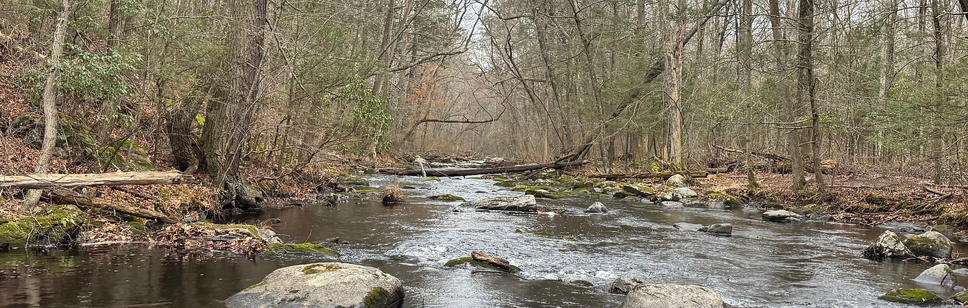
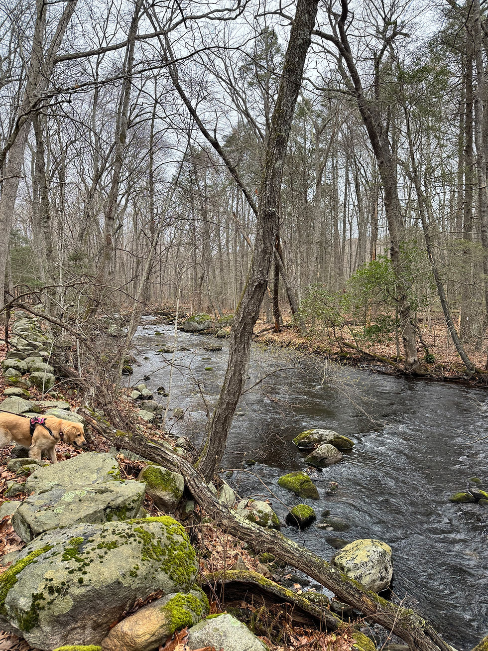
This route takes a nice scenic path along the Hammonasset River. The river is pretty wide and probably around 2-3 feet deep in the deeper areas. There is a nice mini waterfall that you'll pass by. Difficulty wise, lots of the route is covered in tree roots and small rocks. There aren't any significant inclines, except for the one black rated spot which is decently steep and you'll have to step on some rocks. There are also two places where you cross small river run offs, and you'll have to walk across a 5 foot wide stream on rocks. Be careful on the rocks as they can get slippery especially in rainy conditions.

Moderate

Recommended By
Trevor Cash
Pictures


1/29
bottom of page